
Wissant et les Deux Caps
Pas-de-Calais, Hauts-de-France, France
July 3, 2025
It was one of those mornings that becomes more beautiful in memory rather than less.
We had parked our rental car in the little village of Escalles, tucked beneath Cap Blanc-Nez on the northern French coast. It was still a little chilly when we unfolded the Bromptons and started climbing away from the village.
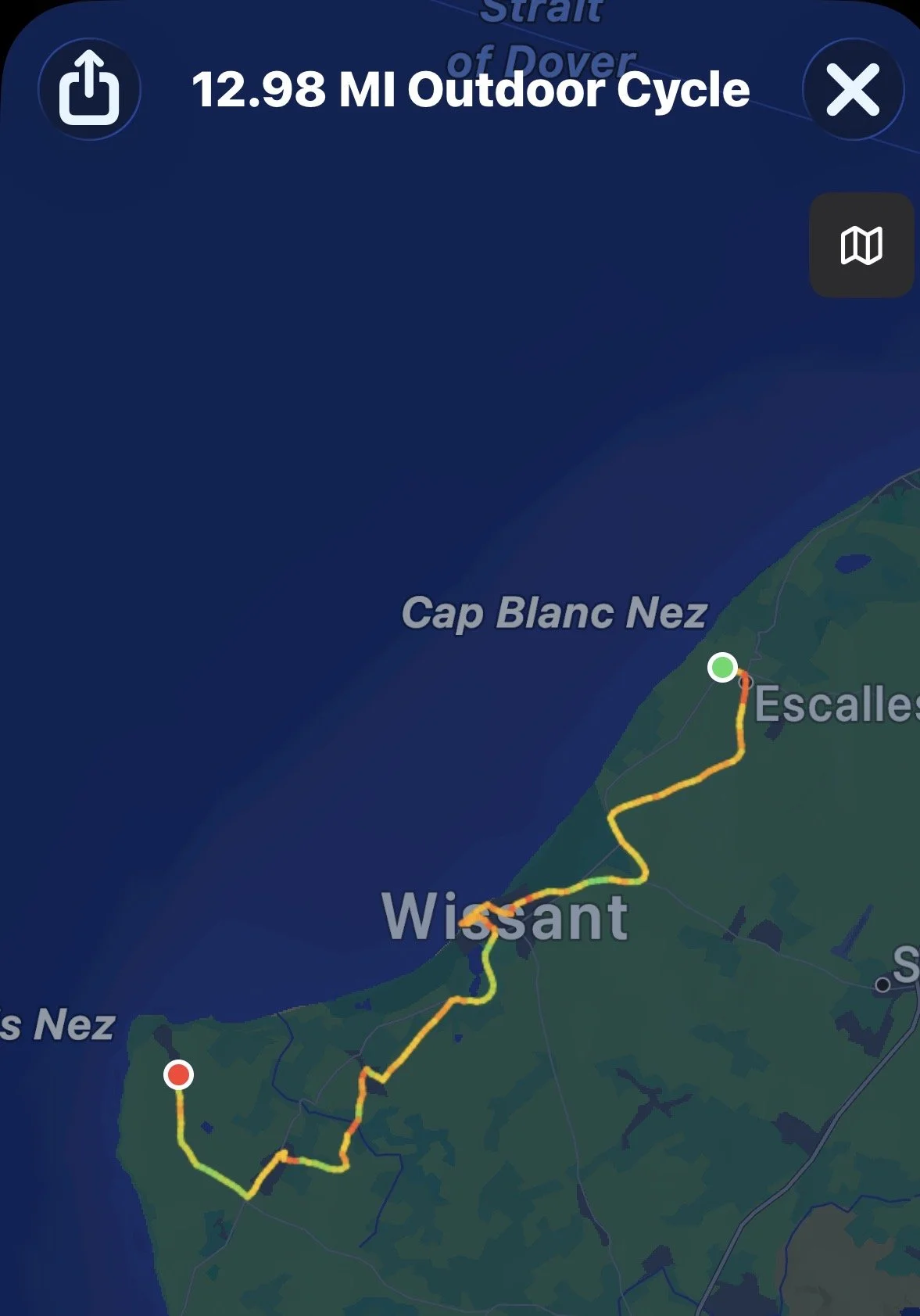
Our plan was simple: ride south along the coast toward Wissant, continue in the direction of Cap Gris-Nez, and see how far we got.
But this ride had another distinction. It was our first encounter with EuroVelo.
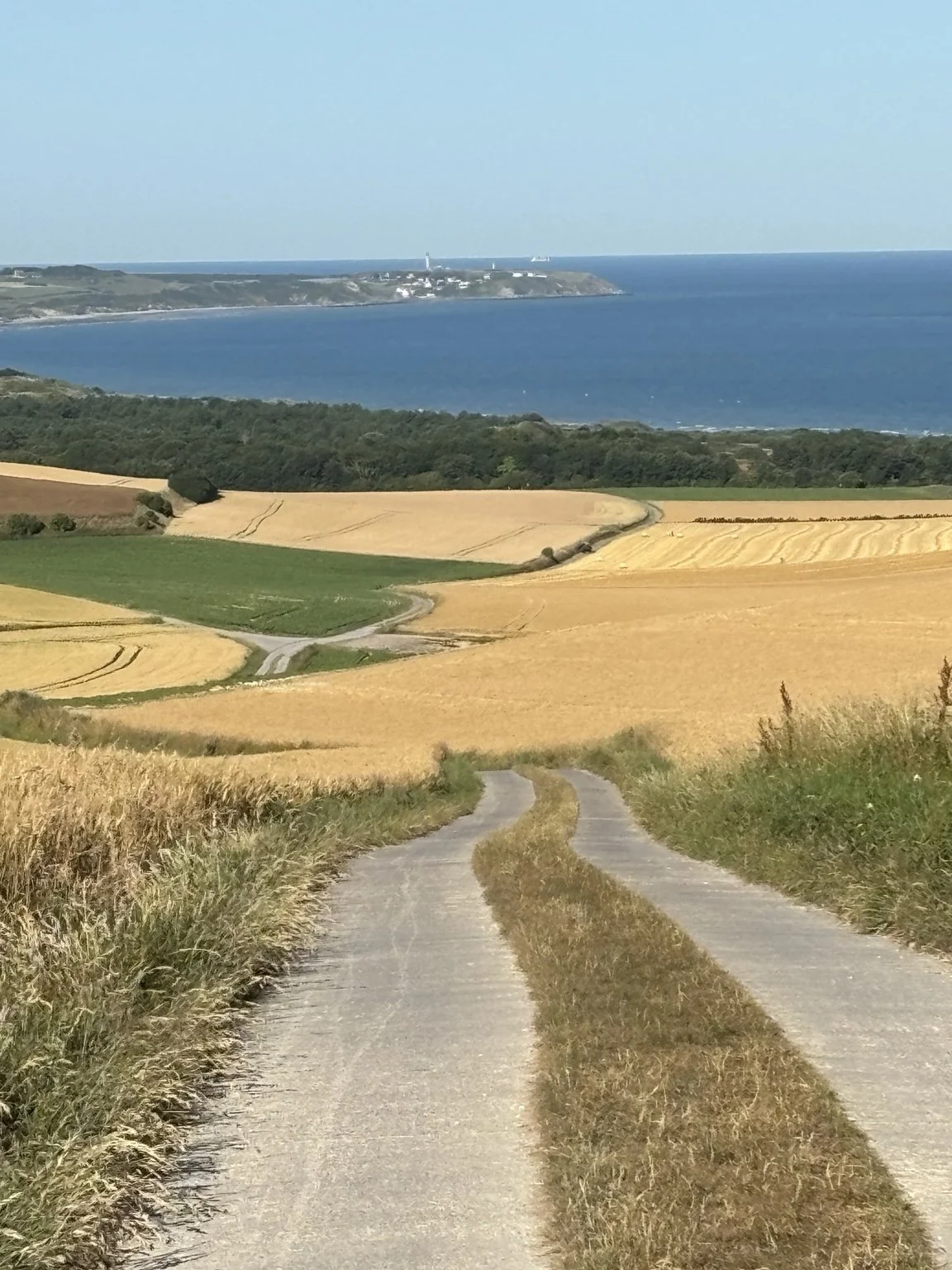
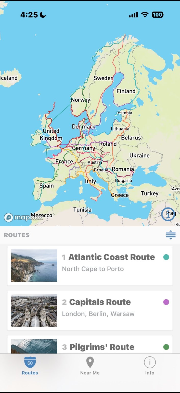
We had read about Europe’s network of long-distance bicycle routes, but this was the first time we had actually put tires on one. Here, EuroVelo 4 — the Central Europe Route — follows the French coastal route known as La Vélomaritime. We used both Google Maps and the EuroVelo app to navigate, but soon discovered that the physical signposts were remarkably helpful.
RIDING WITH THE WIND
The Deux-Caps coast is famously exposed. A Tour de France preview for this area described wind as a factor on roughly 300 days a year, and July climatology at Wissant shows winds most often coming from the west.
Whatever the usual pattern, we were lucky on this particular morning: after the overnight cold front, the wind was behind us as we rode south and southwest. Instead of turning around and fighting it back to Escalles, we could keep going one way, fold the Bromptons, and take the bus home. That is exactly the sort of flexibility folding bikes make possible.
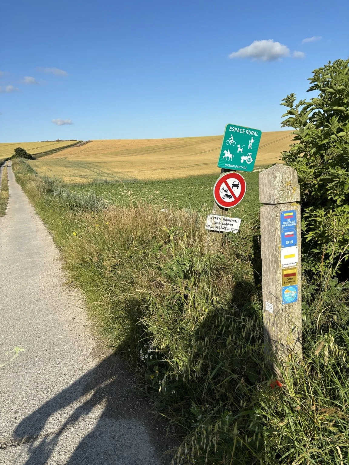
Several cycling and walking routes overlapped one another, so a single wooden post carried markers for EuroVelo along with local Deux-Caps routes and long-distance walking trails.
Then the route left the roads.
And this is the part John remembers best.
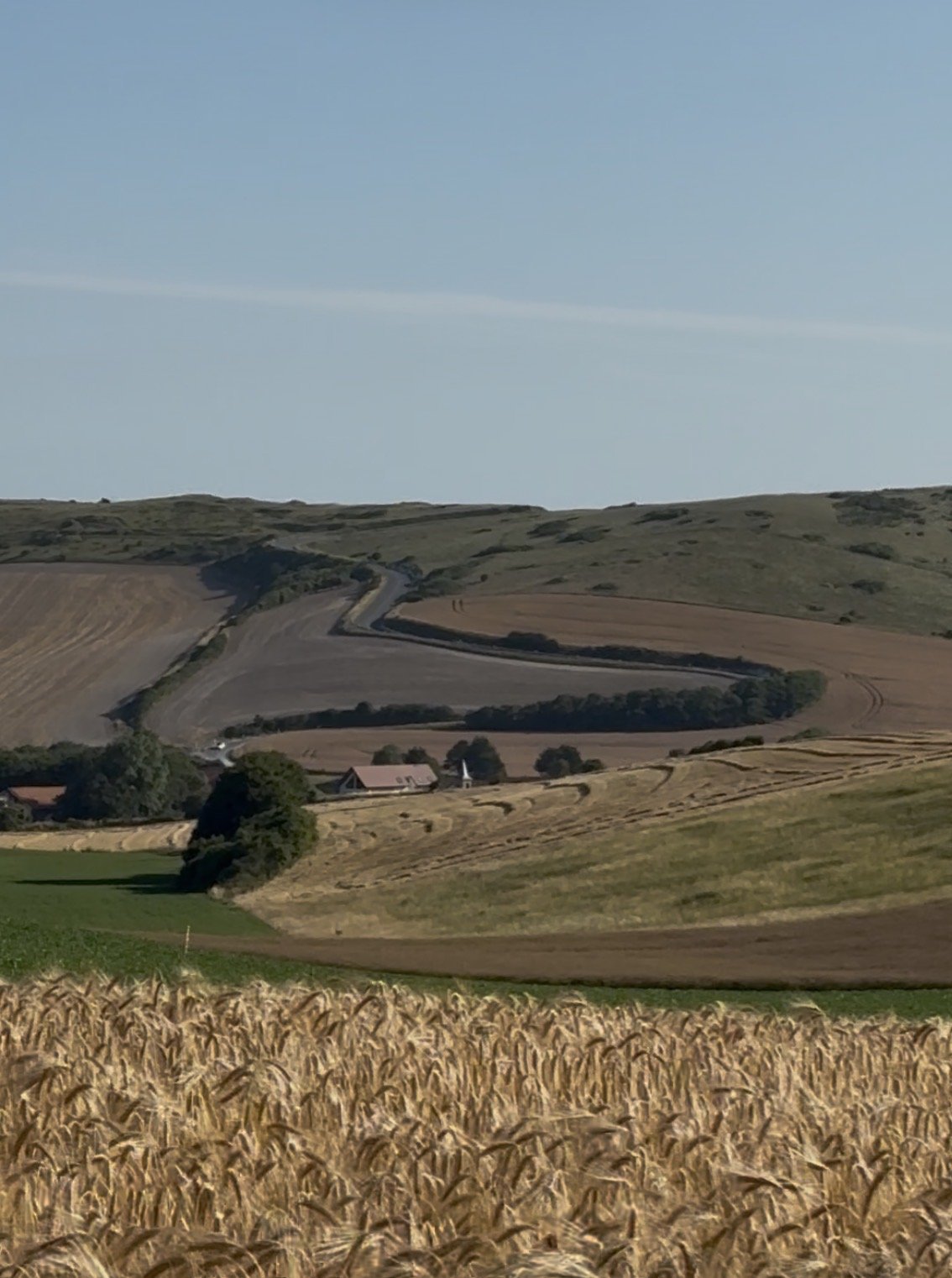
We found ourselves riding our Bromptons right through working farm fields.
Not on dirt. Not on gravel. On narrow paved agricultural tracks winding through immense fields of nearly ripe grain.
To an American cyclist this felt a bit peculiar. Farm roads at home are generally dirt or gravel; you do not expect to ride a little 16-inch-wheeled folding bike on pavement through the middle of a farmer’s crop.
But here we could.
The route rose and fell across gentle hills, sometimes consisting of little more than two paved wheel tracks with grass growing between them. Wheat and other crops rolled away on both sides in enormous bands of green and gold.
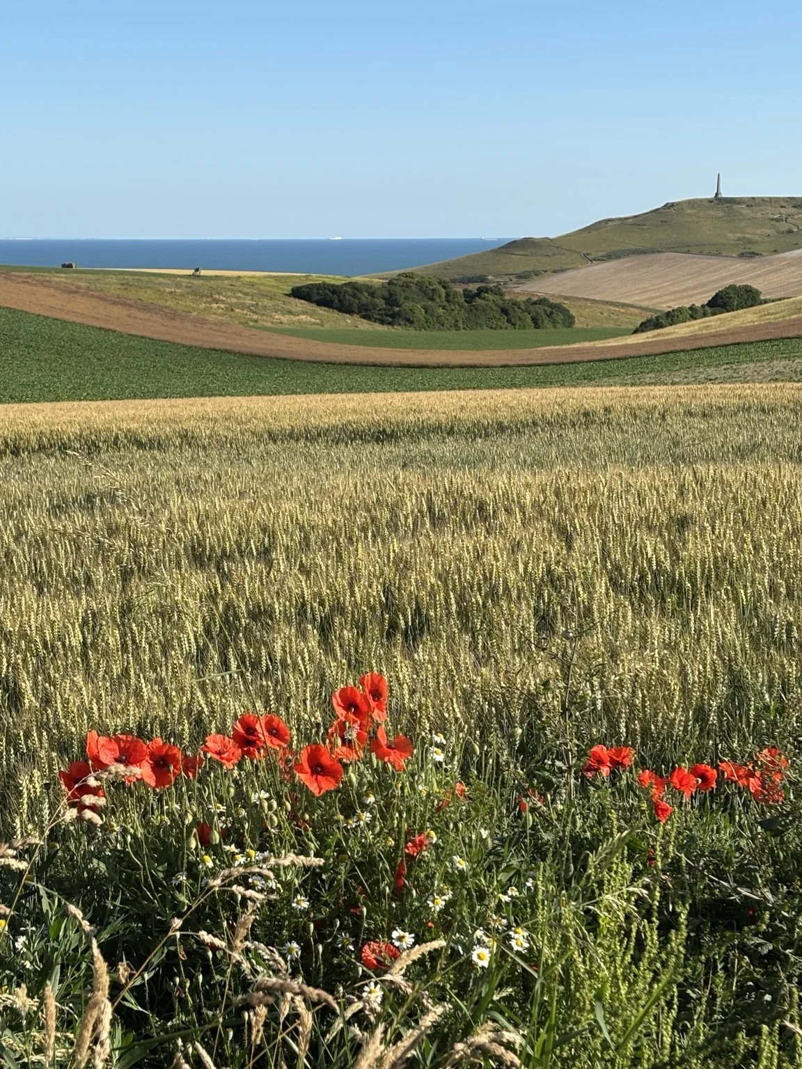
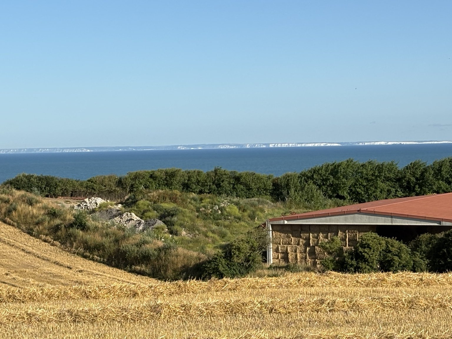
And on the other side of that water was England.
The morning was exceptionally clear after an overnight cold front. The white cliffs of the English coast seemed to glow on the horizon. Ships moved through the Strait of Dover while ferries crossed between France and England.
It was an extraordinary combination of scales: a poppy a few feet from our handlebars, wheat fields rolling toward the sea, enormous ships traveling one of the world’s busiest waterways, and another country visible across the water.
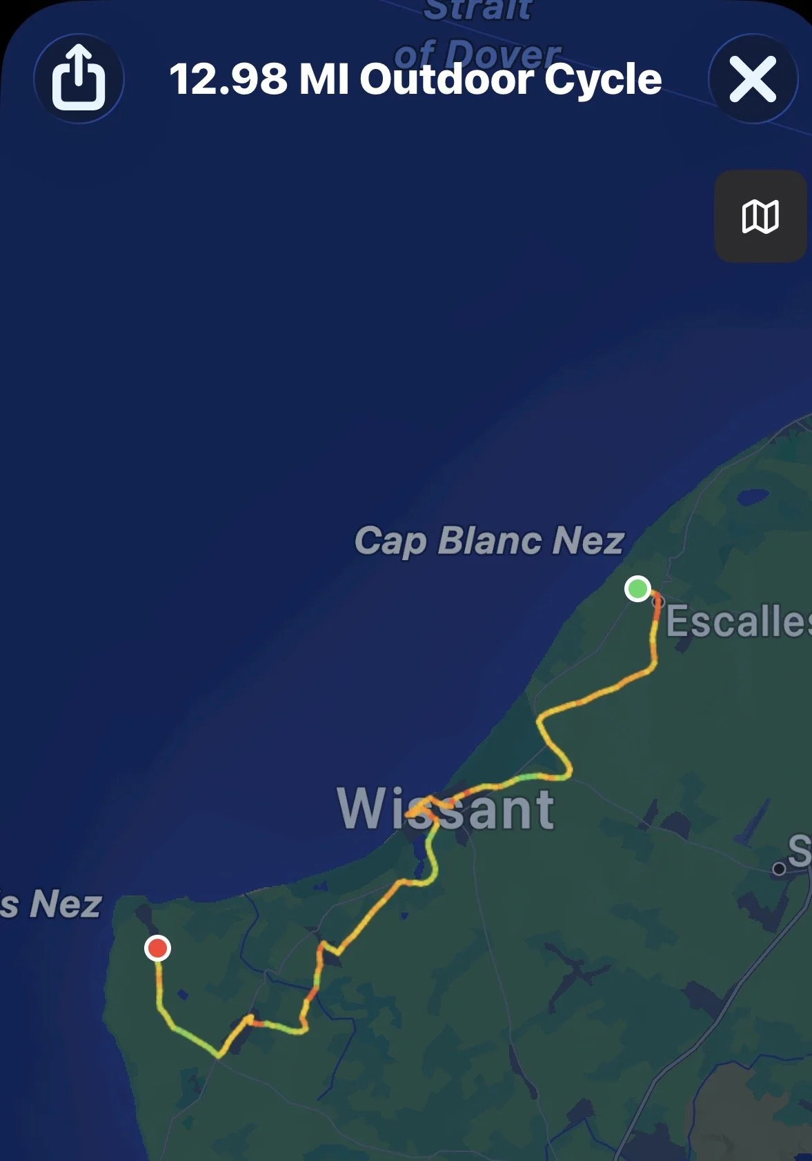
Overview of route. And yes, now I know that his name is pronounced Wout like “out” and van Aert like “art;” not like in “root” and “eert.” Sorry, Wout! I’m still rooting for you!
The grain was nearly ready for harvest.
Along its edges grew red poppies — the flowers so strongly associated with the fields of northern France and Flanders.
The bright scarlet flowers stood among the wheat and roadside grasses, sometimes mixed with tiny white flowers, and beyond them — almost impossibly — the blue of the English Channel appeared between the hills.
TWO CAPES, TWO GEOLOGIC AGES
Cap Blanc-Nez and Cap Gris-Nez look like companion headlands, but geologically they are very different.
Cap Blanc-Nez is built of brilliant white Cretaceous chalk formed about 90 million years ago. The chalk on the French side is geologically continuous with the white cliffs of Kent across the Channel — a visible reminder that the two coasts were once part of the same landscape.
Cap Gris-Nez is much older. Its gray Jurassic rocks, including marl and sandstone, date to roughly 160 million years ago.
So a ride between the Deux Caps is also a ride between two very different chapters of Earth history: younger white chalk at Blanc-Nez and older, darker Jurassic rock at Gris-Nez.

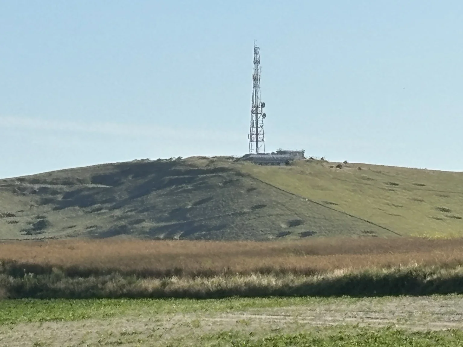
At the top of the farmer’s field we had a panoramic view. To the east was a green “pockmarked” hill. On top stood a modern communications mast.
At the time we knew only that the hill had some connection with communications and World War II.
Its story turned out to be considerably more remarkable.
Mont de Couple rises inland of Wissant, near Audembert. During the German occupation it became an important observation, radio-navigation, and electronic-warfare area. One of the German positions there, known as Stp 140 Osnabrück, was associated with Luftwaffe radio systems including X-Gerät, a beam-navigation system used to guide bombers toward targets in Britain.
In May 1944, only weeks before D-Day, RAF aircraft bombed German installations on Mont de Couple. Those attacks occurred during the enormous Allied air campaign preceding the Normandy invasion, when radar, radio, transport, and coastal military installations across northern France were being attacked. The bomb-crater scars are still visible on the landscape.
On the coast to the east was Cap Blanc-Nez, the great white chalk headland above Escalles. Its cliffs rise to roughly 134 meters, or 440 feet, above the Channel. On the summit stands the Dover Patrol Memorial, commemorating the British and French naval forces that protected the Channel during World War I.
Ahead lay Cap Gris-Nez.
Between them lies the broad Bay of Wissant.
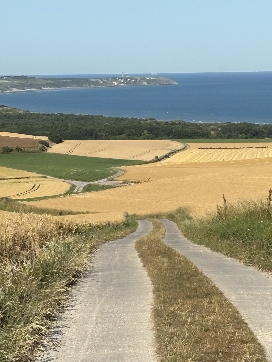
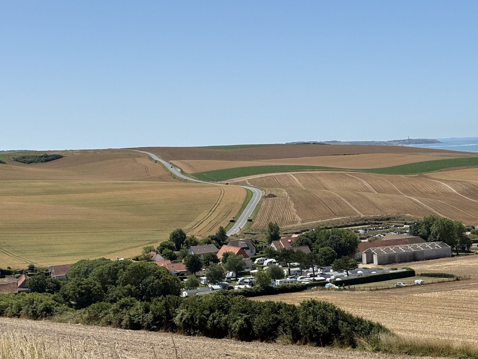
Before long, our farm lane began descending toward it.
The view was magnificent: a skinny ribbon of pavement disappearing downhill through enormous wheat fields, the village and coastline beyond it, and the Channel filling the horizon.
Eventually we rolled into Wissant itself.
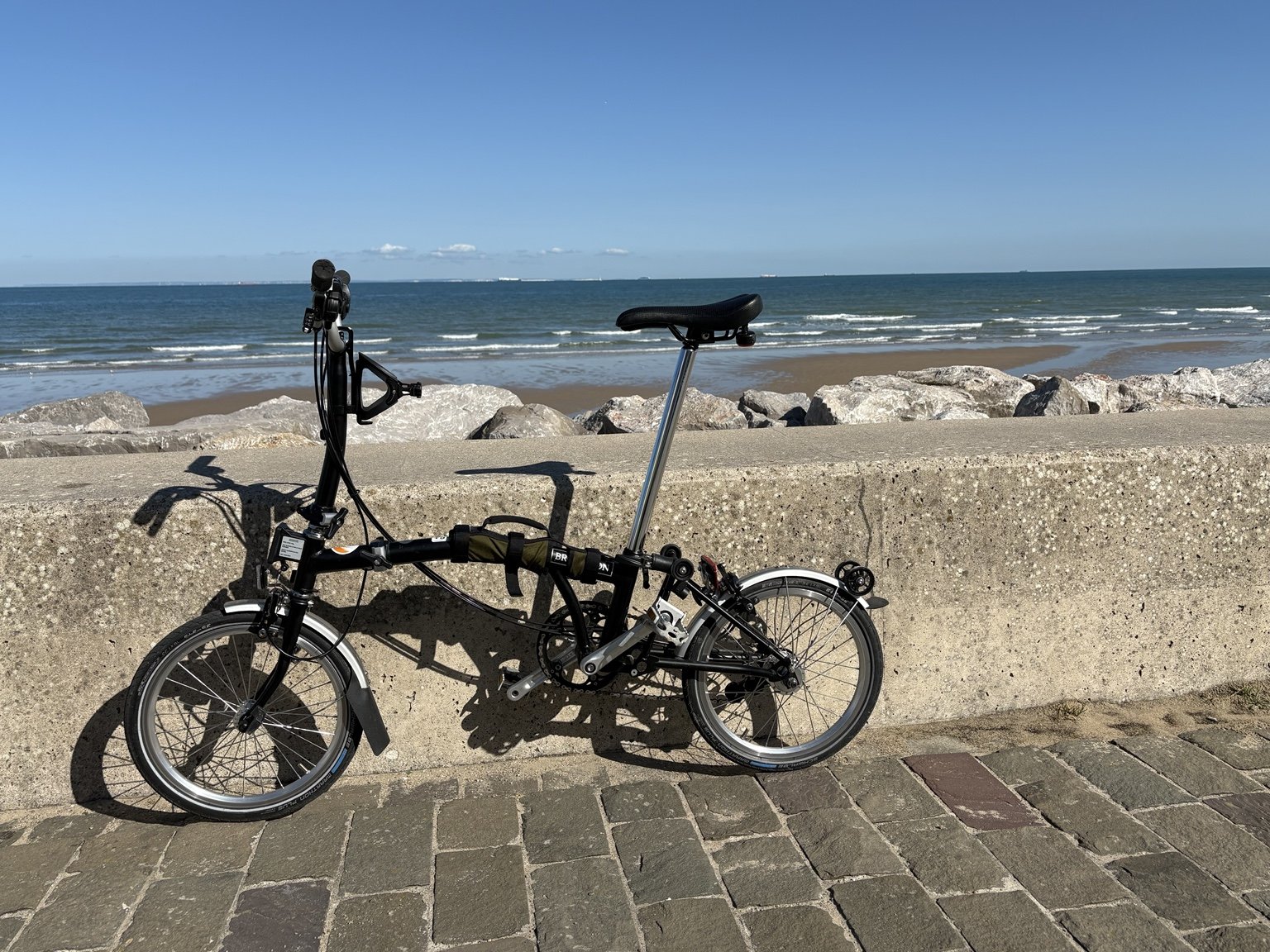
After miles of fields, its seaside promenade felt quite civilized. After a snack break, we rode along the water with our Bromptons beside the beach. Landlubbers that we are, we enjoyed watching the traffic out in the Channel and looking back toward the white cliffs.
Then we left town and headed south again.
The route became rural almost immediately — small roads, scattered houses and farms, cultivated hills, and more poppies growing wherever the plow had left them room.
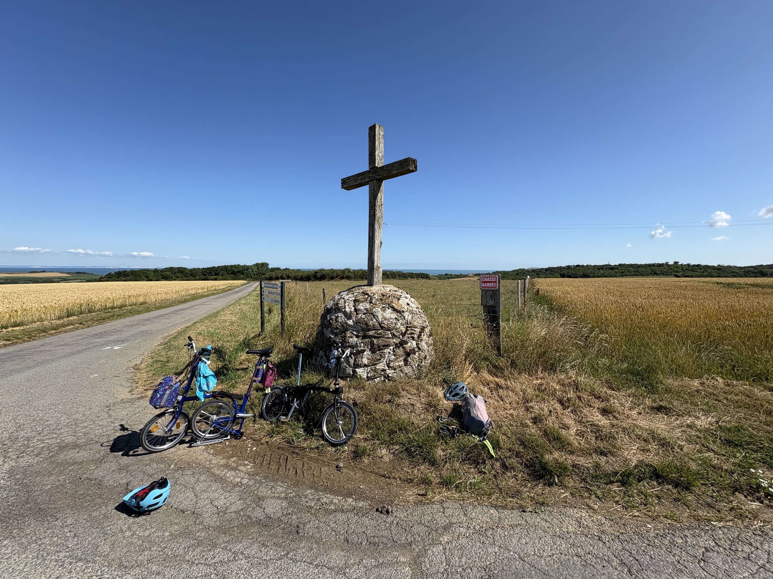
At one crossroads we encountered a farmer’s quiet declaration of faith: a large cross at the intersection of two rural roads.
D-DAY — THE INVASION THAT THE PAS-DE-CALAIS EXPECTED
The real D-Day invasion fleet did not sail toward Wissant or Cap Gris-Nez. On June 6, 1944, the armada landed much farther west on the Normandy beaches, which lie roughly 140–160 miles (225–260 km) southwest of Wissant.
But German forces on the Pas-de-Calais coast had every reason to expect the main Allied invasion here. The Strait of Dover was the shortest crossing from England, and Allied deception plans deliberately reinforced the German belief that the decisive attack would come against the Calais region.
The deception continued on the night of June 5–6. RAF aircraft and small Royal Navy vessels created false radar indications suggesting large convoys were approaching the Pas-de-Calais. Aircraft dropped strips of metallic foil, known as Window, in carefully controlled patterns while naval craft helped simulate an invasion force.
So someone standing on the coast at Wissant could not have watched the true invasion fleet emerge from the mist. But the German defenders on these hills were being deliberately encouraged to believe that such a fleet was on its way — and even after the Normandy landings began, German commanders continued to fear that the main assault might still fall here.
The peaceful landscape made that history difficult to imagine. From these same hills, German forces had looked across the Channel toward England. Now we were looking across the same water at the same white cliffs, with poppies blooming beside the fields.
We kept riding.
Our goal had been to make it all the way from one cape to the other. We came close.
By the time Cap Gris-Nez was clearly in sight, however, the character of the road had changed. There was considerably more traffic, including tour buses, and the remainder no longer looked like the kind of cycling we wanted to do.
So we stopped.
This is one of the reasons we travel with Bromptons.
There was no need to prove anything.
We folded the bicycles, carried them aboard a scheduled bus, and rode back toward Escalles.
WOUT! VAN AERT’S CAP BLANC-NEZ ATTACK
On July 5, 2022 — almost exactly three years before our ride — Stage 4 of the Tour de France ran 171.5 km from Dunkirk to Calais through the Deux-Caps country.
Wout van Aert was already wearing the yellow jersey, but he had finished second in each of the Tour’s first three stages. Jumbo-Visma drove the pace on the final classified climb, the Côte du Cap Blanc-Nez. Van Aert went clear near the top and then rode the final 10 kilometers alone to Calais, winning the stage by eight seconds.
The decisive attack was on Cap Blanc-Nez, just north of Wissant and beside our starting area at Escalles. Much of our own ride used quiet farm lanes rather than the Tour’s main road, but we were riding through the same exposed, rolling landscape where Wout turned the yellow jersey into one of the most memorable wins of the 2022 Tour.
Our first EuroVelo ride had taken us over rolling French farmland under clear blue skies, past poppies and wheat, beside layers of European and geologic history, between two famous capes, with ships in the Channel and the brilliant white coast of England across the water. It was a perfect day.
The ride
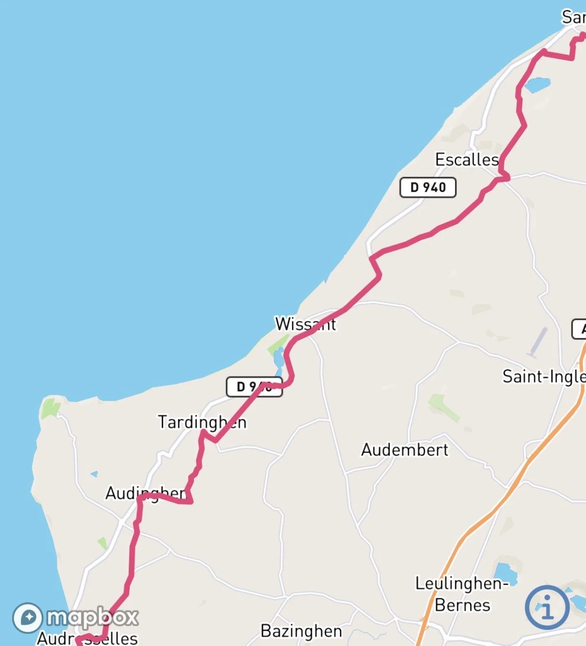
Escalles, below Cap Blanc-Nez -> EuroVelo 4 / La Vélomaritime and local Deux-Caps farm lanes -> Wissant promenade -> rural roads south toward Cap Gris-Nez -> scheduled bus back to Escalles with the folded Bromptons.
Distance: 12.98 miles.
Surface: Almost entirely paved: village streets, narrow paved agricultural tracks through working fields, quiet rural roads, and the Wissant seafront promenade. The road became busier as we approached Cap Gris-Nez.
Difficulty: Easy to moderate. The route is rolling, with an uphill start out of Escalles, but the distance is modest and we had a favorable wind behind us. Traffic, rather than the terrain, was what made us stop short of Cap Gris-Nez.
Navigation: Google Maps plus the EuroVelo app, with the EuroVelo and Deux-Caps signposts providing useful confirmation on the ground.
What We Liked
The paved farm tracks were the revelation. Riding little-wheeled Bromptons through working grain fields felt wonderfully improbable, and the smooth pavement made it possible. We loved the rolling fields, the poppies, the views across the Channel to the white cliffs of England, the ships and ferries moving through the Strait, and the contrast between the quiet countryside and the Wissant promenade.
We also loved that this was our first real experience of the EuroVelo system. The combination of a long-distance route, local cycling routes, good signposting and public transportation made the ride feel both adventurous and surprisingly easy to improvise.
What We Didn’t Like
Very little. The only real negative came near the end, when traffic — including tour buses — became heavy enough on the approach to Cap Gris-Nez that the ride stopped being pleasant. That was an easy problem to solve with folding bikes and a scheduled bus.
What We Would Do Differently
Not much. We would happily ride this stretch again. We would check the wind forecast and bus timetable in advance and, if possible, deliberately make it another one-way ride with the wind rather than turn it into an out-and-back. We would also feel no need to force the final miles to Cap Gris-Nez if the road were busy again.
Lesson Learned
A point-to-point ride can be better than a loop. With folding bikes and public transportation, there is no requirement to retrace a beautiful route or keep riding after the conditions change. Thirteen miles, ridden in the right direction through the right landscape, can feel like a much bigger journey.
HOW WE NAVIGATED
We used both Google Maps and the EuroVelo app, while the physical EuroVelo and Deux-Caps signs often gave us the clearest confirmation on the ground.
References
Main sources used for this page: the official EuroVelo / La Vélomaritime route information for EuroVelo 4; Pas-de-Calais Tourisme and Grand Site des Deux-Caps material for the geology and landscape of Cap Blanc-Nez and Cap Gris-Nez; the official Tour de France account of Stage 4 in 2022 for Wout van Aert’s Cap Blanc-Nez attack and solo win in Calais; RAF / D-Day historical material for the pre-invasion air campaign and deception operations; and regional/specialist Atlantic Wall sources for the wartime installations on Mont de Couple. Weather climatology for Wissant was checked against WeatherSpark.
EuroVelo 4 / France: https://en.eurovelo.com/ev4/france
Pas-de-Calais Tourisme — Site des Deux Caps: https://www.pas-de-calais-tourisme.com/espaces-naturels/site-deux-caps/
Tour de France — Stage 4, 2022: Wout van Aert: https://www.letour.fr/en/news/2022/wout-van-aert-superstar/1301501
RAF Air Historical Branch — Normandy landings campaign narratives: https://www.raf.mod.uk/what-we-do/our-history/air-historical-branch/second-world-war-campaign-narratives/
WeatherSpark — Wissant climate: https://weatherspark.com/y/46866/Average-Weather-in-Wissant-France-Year-Round